

Webinar
Registration is now closed. Please check back for other webinars.
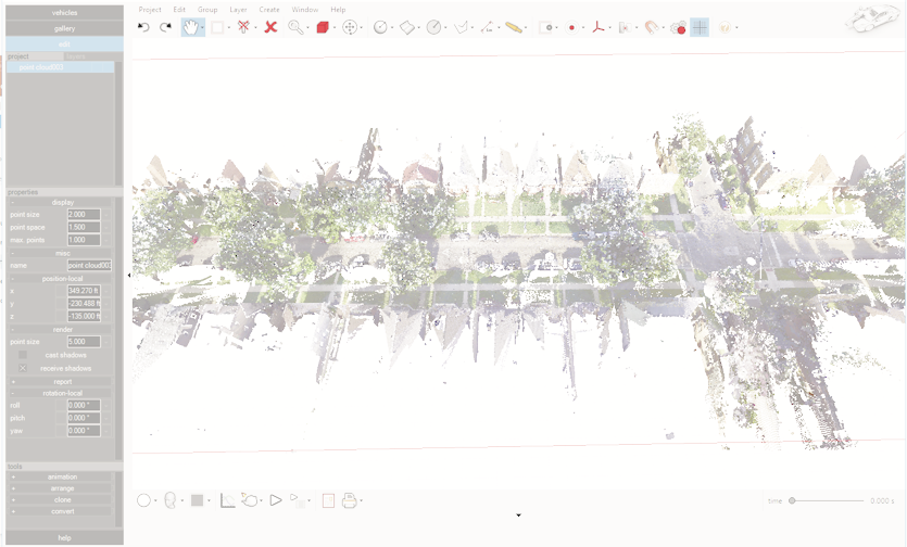
Objective: We will review how to create environments in Virtual CRASH 4 from aerial photos using the scale tool, using the Google Earth import feature (with terrain elevation), using total station data, and drone-based point clouds with tif images. We will also review creating terrain objects from polygon meshes including the Easy Surface Builder output.
Date: Wednesday October 10, 2018.
Time: Note, this webinar is 2 hours in duration | 1:00 PM to 3:00 PM (EDT). There will be one break from 1:55 PM to 2:05 PM.
Fee: $300 per participant
Instructor: Bob Scurlock, Ph.D., ACTAR #2412
Chrome users, if you experience any difficulties with the online checkout process, please try again using another browser such as Microsoft Edge, Mozilla, or Safari.